Dublin Spatial Search
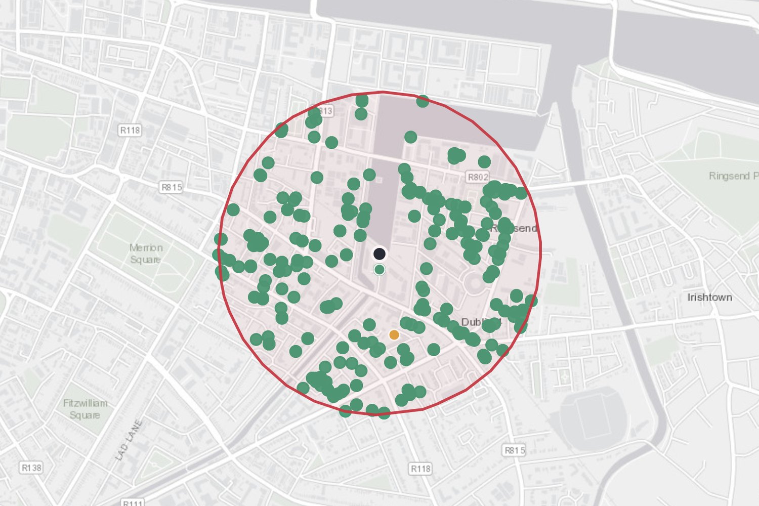
A web app that searches EPA licensed facilities, OPW river gauges and 117,464 planning applications inside any area of Dublin you draw.

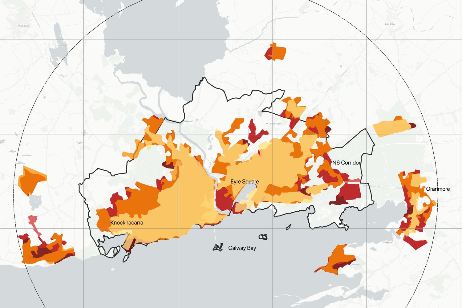
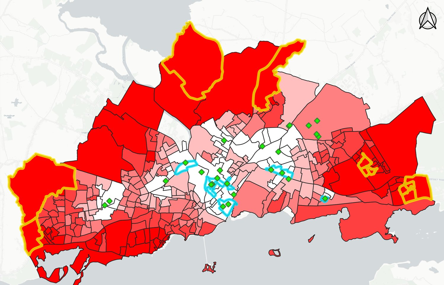
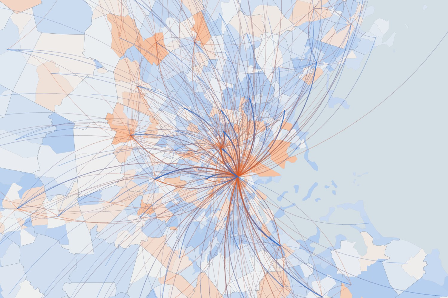
GIS analyst. I map how places change and who can reach what: urban growth, infrastructure access and environmental data across Ireland.
Day to day I work in QGIS, R and ArcGIS Online, from data cleaning through to finished cartography. I’m currently building up ArcGIS Pro, Python and FME, with a new project here each month.